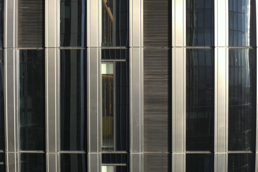
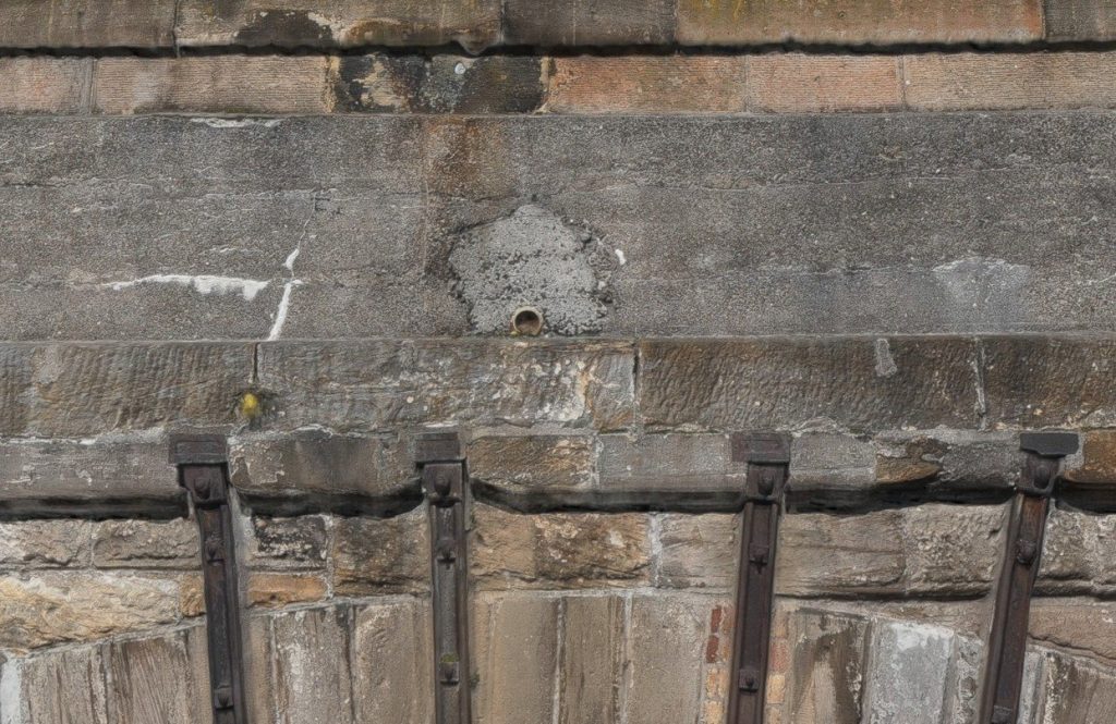
High-level defects are expensive to find the traditional way. We capture every elevation and structural element in high-definition detail, so cracking, spalling, open joints and failed sealant can be found, measured and prioritised from the office.
Who it’s forFor anyone responsible for tall or hard-to-reach assets
- Building surveyors carrying out façade condition and defect surveys
- Asset owners managing bridges, viaducts, towers and chimneys
- Contractors scoping repairs and access before committing to plant
- Heritage and listed-building projects that need a non-contact survey
What we captureDetail you can price from
- Brickwork, stone, render and cladding
- Joints, pointing, sealant and fixings
- Balconies, windows, copings, parapets and cornices
- Bridge and viaduct arches, piers, spandrels and weep holes
- Chimneys, stacks and towers from top to bottom
What you receiveEvidence, not guesswork
- High-definition imagery and 4K video of every elevation
- Marked-up defect imagery
- Photogrammetric 3D models for measuring defects
- Specialist inspection reports on request
- Repeat captures to track change over time
Frequently asked questions
Can drones inspect listed and heritage buildings?
Yes. Drone inspection and photogrammetry are non-contact, so fragile or listed fabric can be recorded in detail without scaffold fixings or access equipment touching it.
How close can you fly to a building or structure?
Our enhanced CAA Operational Authorisation allows closer flights than a standard operator. The exact stand-off is set by the site-specific risk assessment for each job.
Can you measure defects from drone imagery?
Yes. With photogrammetry we build scaled 3D models, so cracks, spalls and missing units can be located and measured from the office.
Need eyes on a façade or structure?
From a single elevation to a 36-arch viaduct, we will recommend the right capture method for the detail you need.