Home / Case studies / Newbridge Viaduct
Case study · Rail infrastructure
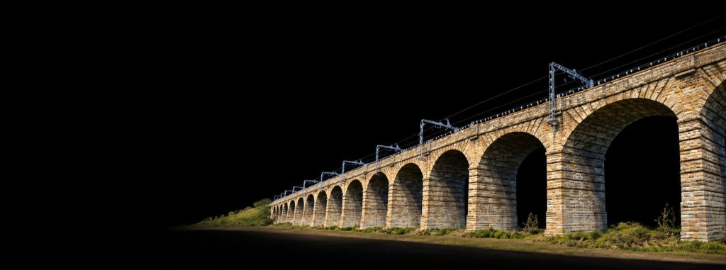
Newbridge Viaduct: laser scan and drone survey of a 36-arch railway viaduct
A centimetre-accurate digital twin of a Category A listed viaduct on an electrified mainline, beneath a live flight path. Surveyed and delivered by Overeye, in collaboration with Eleusis.
A Category A listed, 36-arch masonry viaduct carrying a fully electrified mainline, sitting beneath a live flight path. We delivered a centimetre-accurate digital twin to inform condition assessment and long-term asset management.
The briefA survey-grade digital twin
The asset owner needed a complete, georeferenced 3D record of the viaduct: every arch, spandrel, pier and parapet captured at survey-grade tolerance, suitable for defect mapping, structural review and BIM integration.
The site brought three constraints typical of operational rail: continuous overhead line equipment along the deck, restricted possession windows, and varied lineside ground of arable fields, embankments and access tracks, all beneath a live flight path.
Our approachLaser scanning and drone photogrammetry, combined
We used a hybrid survey method. Terrestrial laser scanning captured the arch geometry and pier structure in detail, while drone photogrammetry covered the deck, parapets and upper spandrels beyond the reach of ground-based instruments.
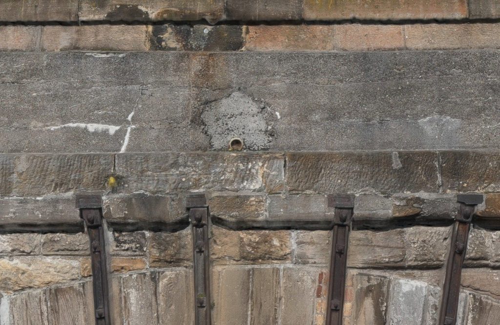
Ground control was established and integrated across both datasets, so everything sat in one consistent geospatial reference frame. The combined data was optimised for measurement, including locating and positioning drainage features such as weep holes.
The outcomeOne dataset for the life of the asset
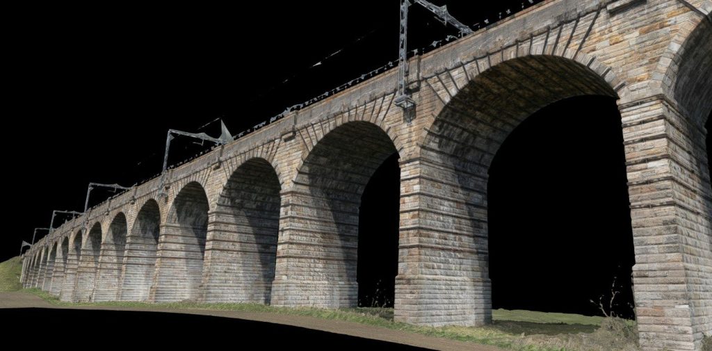
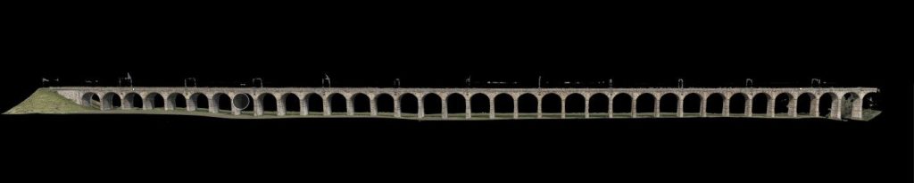
Scan stations along the structure were registered as a single bundle spanning the full 36-arch run, with continuous coverage of both elevations, the arch intrados and the overbridge deck. Registration met survey-grade tolerance throughout, comfortably inside the agreed centimetre-grade specification.
- A fully registered, colourised point cloud in the client’s preferred format
- A drone-derived photogrammetric mesh of the whole structure
- A formal registration report certifying the geometry
- A single dataset for condition monitoring, defect mapping and future intervention design
Questions about this project
Why combine laser scanning with drone photogrammetry?
Ground-based laser scanning gives very accurate geometry for arches and piers, while drones reach the deck, parapets and upper spandrels. Tied together with ground control, you get complete coverage at survey-grade accuracy.
Can you survey a structure on a live, electrified railway?
Yes. Flights and scan positions are planned around possession windows, overhead line equipment and airspace, with a site-specific risk assessment under our enhanced CAA Operational Authorisation.
What do you deliver for bridges and viaducts?
Typically a registered point cloud, a photogrammetric mesh, high-resolution imagery for defect mapping and a registration or survey report, in formats that suit your engineering and BIM teams.
Surveying a bridge, viaduct or structure?
From heritage masonry to live rail, we will recommend the right mix of drone, LiDAR and laser scanning for the accuracy you need.