
Home / Case studies / Wind farm LiDAR survey
Case study · Renewables
Drone LiDAR survey for wind farm feasibility
1,000 hectares of moorland and forestry in the Scottish Lowlands, mapped in days to show where turbines, crane pads and access tracks can go.
Wind farm feasibility starts with the ground. Before anyone commits to a layout, a developer needs to know where turbines can physically go, how kit gets to them and what it will cost to build. On 1,000 hectares of moorland and forestry, we answered that in one survey.
The challengeWhat feasibility needs to know
Turbines, crane pads and assembly areas all need gentle, stable ground. Access tracks need gradients that delivery vehicles can handle. Get the terrain wrong and the cost shows up later in earthworks, redesign and delay. Get it right and the best positions stand out from day one.
Our approachSurvey-grade data, anywhere
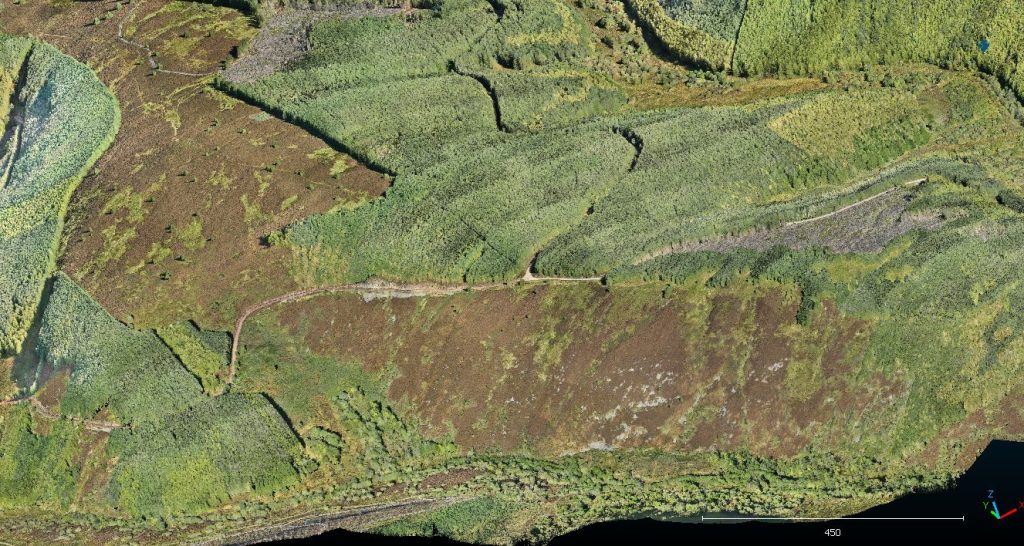
We flew drone-mounted LiDAR over the whole site in a matter of days. Minimal mobile signal made things harder, as network RTK was not reliable. We still delivered survey-grade results by setting out our own ground control and using PPK corrections.
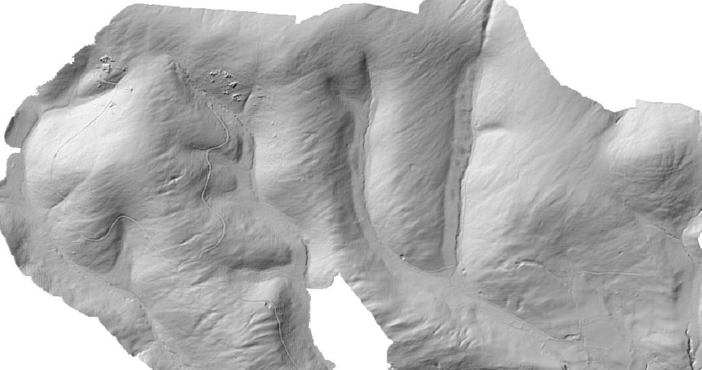
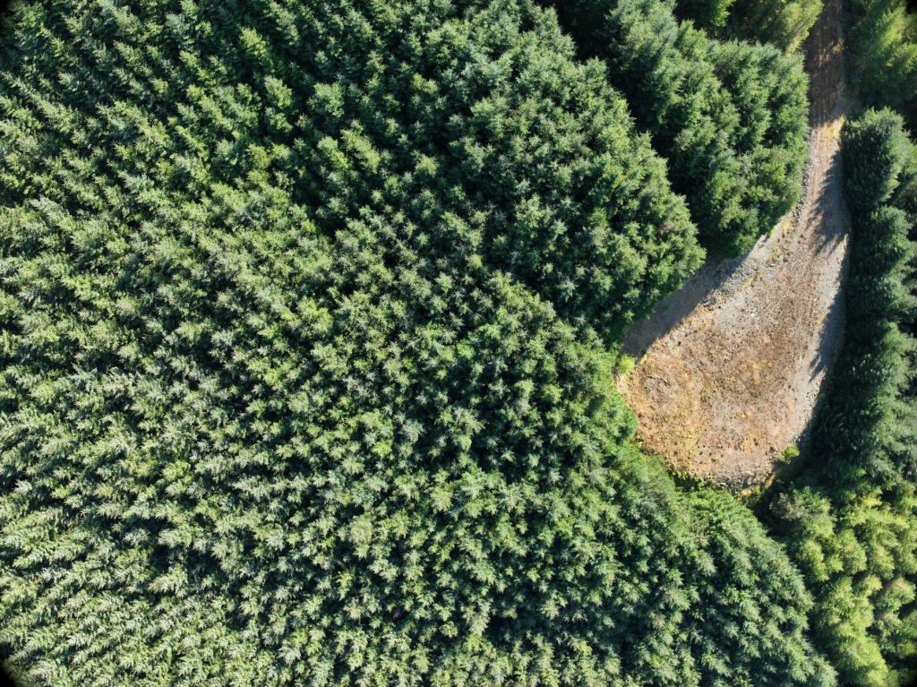
LiDAR’s big advantage here is that it sees through vegetation. Laser pulses pass between branches and through heather to the ground beneath, mapping the true terrain under dense forestry where photogrammetry only sees treetops.
What we deliveredReady to design with
- A ground-classified point cloud, tiled for easy handling
- A bare-earth DTM for slope and cut-and-fill analysis
- A DSM showing trees, structures and obstructions
- A TIN surface model ready for CAD and civils
- A ready-to-open GIS project, so screening could start straight away

Questions about this project
Can drone LiDAR survey the ground under trees?
Yes. LiDAR pulses pass through gaps in the canopy and vegetation, so the point cloud can be classified to a bare-earth terrain model. Photogrammetry only captures the top of the trees.
How accurate is drone LiDAR without mobile signal?
Network RTK needs mobile data, so on remote sites we set out our own ground control points and process the flight data with PPK corrections to achieve survey-grade accuracy.
What formats do you deliver LiDAR data in?
Typically LAZ or LAS point clouds, GeoTIFF terrain and surface models, DXF for CAD, and a ready-to-open GIS project. We match the formats to your design team.
Planning a renewables or infrastructure site?
Tell us about the site and what you need to know. We will recommend the right capture method and deliverables.