Whether you need the true ground level beneath forestry or a measurable model of a viaduct, we choose the right sensor for the job: drone LiDAR, photogrammetry, or both, tied to ground control for survey-grade accuracy.
LiDAR or photogrammetry?The right sensor for the result
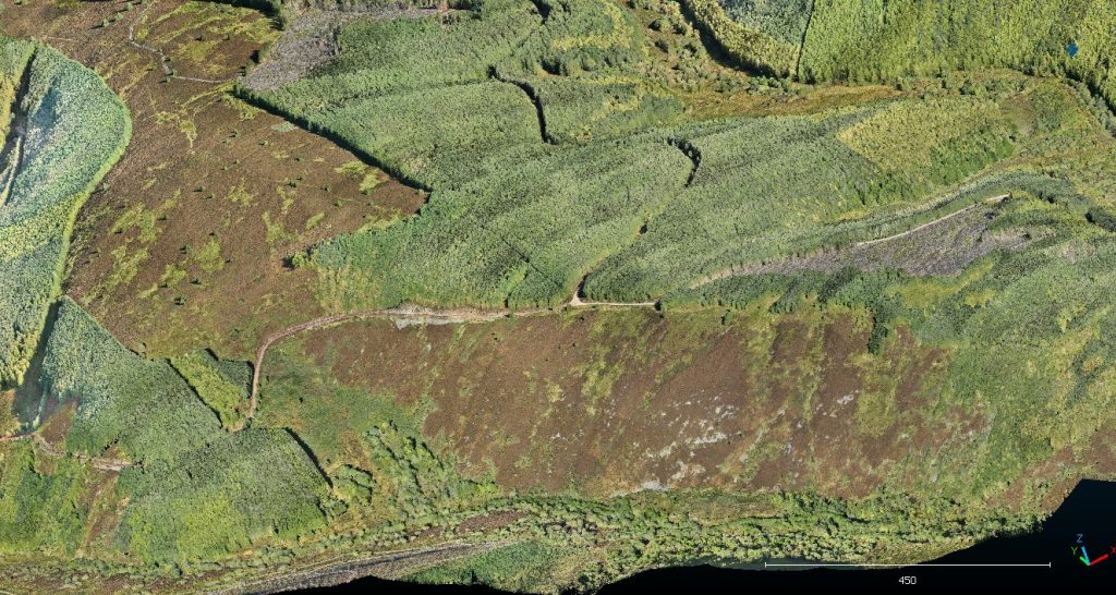
LiDAR pulses pass through gaps in vegetation, so the point cloud can be classified down to bare earth. That makes it ideal for terrain, corridors and wooded sites. Photogrammetry builds photoreal, textured models from overlapping images, which suits buildings, structures and heritage. On many jobs we combine the two, and we will recommend the mix based on the accuracy and outputs you need.
Where it’s usedFrom feasibility to as-built
- Site selection and feasibility, including renewables
- Existing-condition surveys to start design
- Volumes, earthworks and cut-and-fill
- Structural and heritage records
- BIM and digital twin projects
What you receiveData that drops into your workflow
- Classified point clouds (LAS/LAZ, E57, RCP)
- Digital terrain and surface models (GeoTIFF)
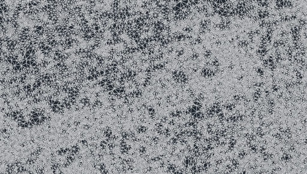
- TIN surfaces and contours for CAD (DXF)
- Textured 3D meshes (OBJ)
- Ready-to-open GIS projects
Frequently asked questions
How accurate is drone LiDAR?
With ground control points and PPK or RTK corrections, drone LiDAR delivers survey-grade results. We agree the accuracy specification with you before we fly.
Can drone LiDAR see through trees?
Yes. Laser pulses pass through gaps in the canopy, so the point cloud can be classified to a bare-earth terrain model. Photogrammetry only captures the top of the trees.
What software can open the data?
Our outputs open in common tools such as AutoCAD, Civil 3D, Revit, ReCap, QGIS and ArcGIS. We match formats to your team.
Need a point cloud, terrain model or 3D model?
Tell us what the data is for and the accuracy you need. We will recommend LiDAR, photogrammetry or both.