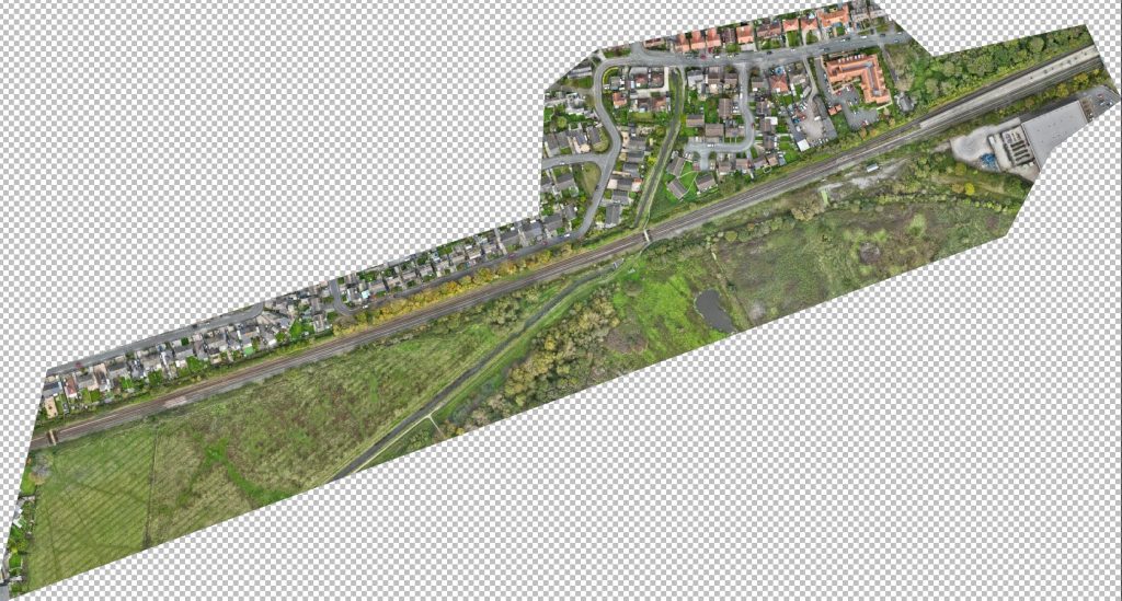
An orthomosaic is a geometrically corrected aerial map you can measure from. We fly repeatable mapping missions and process them into orthomosaics, elevation models and volumes, georeferenced to your project coordinates.
Where it’s usedMaps for planning, design and monitoring
- Site planning and design bases
- Rail, road, pipeline and utility corridors
- Stockpile and earthworks volumes
- Estate and land management
- Tracking change on site over time
What you receiveMeasurable, georeferenced outputs
- Orthomosaics (GeoTIFF)
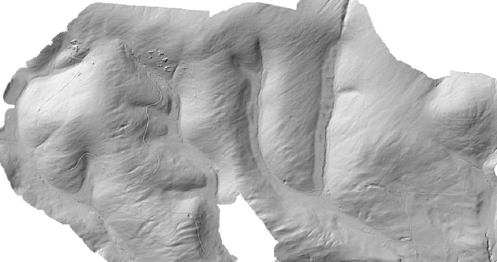
- Digital surface and terrain models, with contours
- Volume calculations
- GIS-ready layers
- Online viewing and sharing in VueSync
Frequently asked questions
What is an orthomosaic?
An orthomosaic is an aerial map made from hundreds of overlapping drone images, corrected so that scale is uniform. You can measure distances and areas from it like a map.
How accurate are drone maps?
Accuracy depends on ground control and processing. With surveyed control points we can achieve survey-grade results and will agree the specification with you up front.
Can you map railways, roads and other linear assets?
Yes. Corridor flights are planned around site rules, possessions and airspace, with a site-specific risk assessment under our enhanced CAA permissions.
Need a site or corridor mapped?
Tell us the area, the accuracy you need and what the map is for, and we will scope the right flight plan.